Mapa de Historia
Opened: 2020 (Digital Exhibition)
During COVID-19 restrictions, PRAA collaborated with Para la Naturaleza and the University of Puerto Rico’s School of Architecture to present Mapa de Historia, a fully digital exhibition documenting Puerto Rico’s built heritage after Hurricane María. Between October and November 2017, conservation architect Diana Luna-Serbiá, AIA, together with Para la Naturaleza staff and 11 architecture students, surveyed nearly 5,000 properties in 45 municipalities under challenging post-disaster conditions.
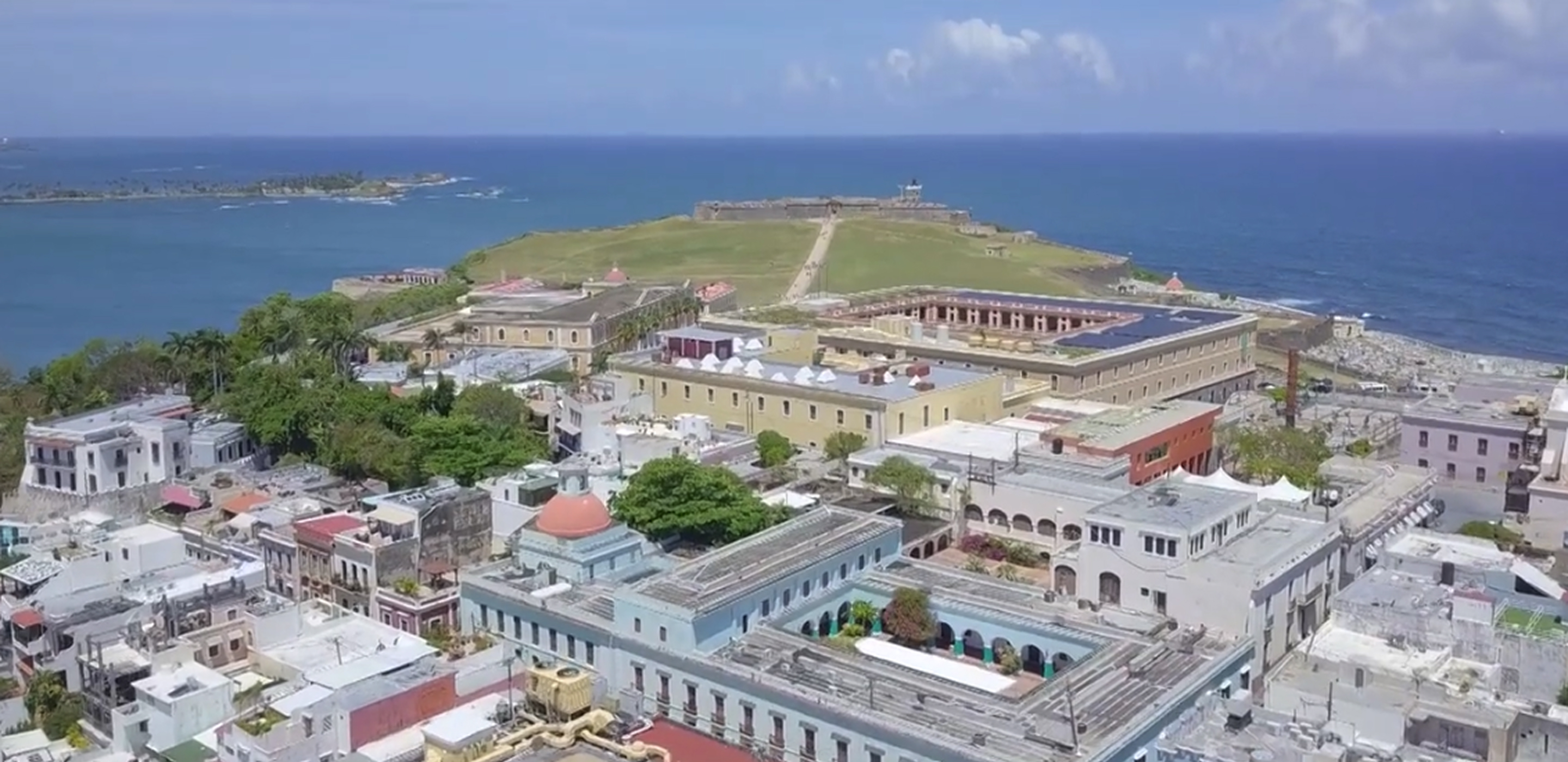
The exhibition translated technical findings into public knowledge: photographs taken on mobile devices showed torn metal roofs, compromised wooden walls and windows, and the cumulative effects of wind followed by weeks of rain. Interpretive maps identified the most affected historic zones—Arroyo, Guayama, Coamo, Ponce, and the Aguirre Historic District in Salinas—and explained why late‑19th and early‑20th‑century wooden structures suffered disproportionately. While only 11% of surveyed buildings experienced serious damage and 27 collapsed, the exhibition underscored the persistent gap between need and aid years after the storm.
As a digital project, Mapa de Historia expanded access during the pandemic and modeled how PRAA could convene scholarship, advocacy, and public education online. It functioned as a call to action for preservation, resilience planning, and investment in community heritage.
PRAA’s first fully digital exhibition, the project complements documentary and archival efforts by offering a landscape-scale view of cultural vulnerability. For more information visit: paralanaturaleza.org.


Sponsors


Exhibition Contributors
Explore More Events
Carlos Flores: A ChicagoRican Story